Data collection
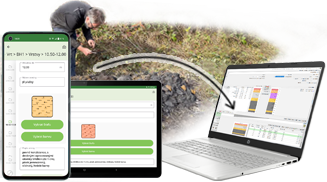
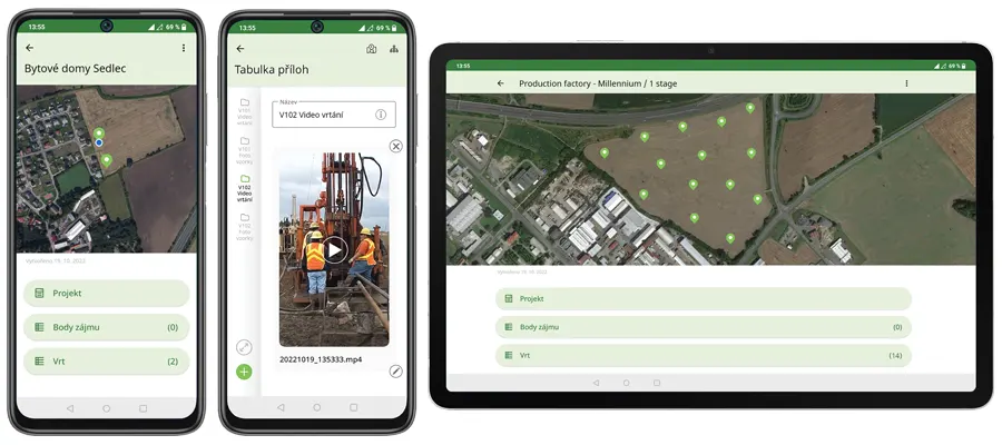
GEO5 Data Collector is a mobile application used for data collection in field or laboratory, and it works with both mobile phones and tablets. The app uses Stratigraphy templates and allows inputting data in the field, using maps and GPS, and adding photos, videos or audio recordings. The mobile application and the Stratigraphy and Laboratory program can then exchange these data. The app is available on Google Play and App Store.
The Point Cloud program allows processing of point clouds (up to 100 million points) and their export to GEO5 Stratigraphy program or external LAS files.
It contains simple editing tools for removal of buildings, and vegetation, modification of water surfaces, and reduction of the number of points.
Geological Sources
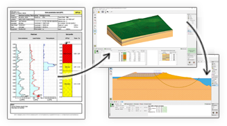
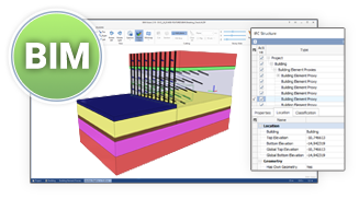
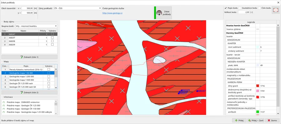
The Stratigraphy program allows cartographical information and borehole surveys to be obtained from public sources. The results from specific geological surveys are entered into the program. All field tests can be entered; i.e. boreholes, wells, CPTs, SPTs, pressure meters, dilatometers, etc. Data can be entered directly or imported in many formats into the program.
Geological Documentation
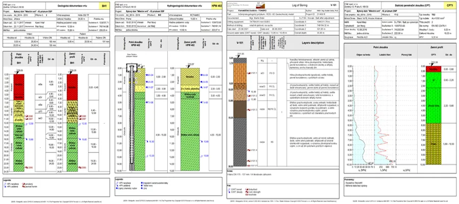
Detailed geological documentation can be printed or exported for the entered data.
The Stratigraphy – Logs extension module allows a set of templates to be generated for all test types. The entire data entry system is user-defined, the user chooses which data to enter and how, or how to print it.
Geological Sections
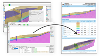
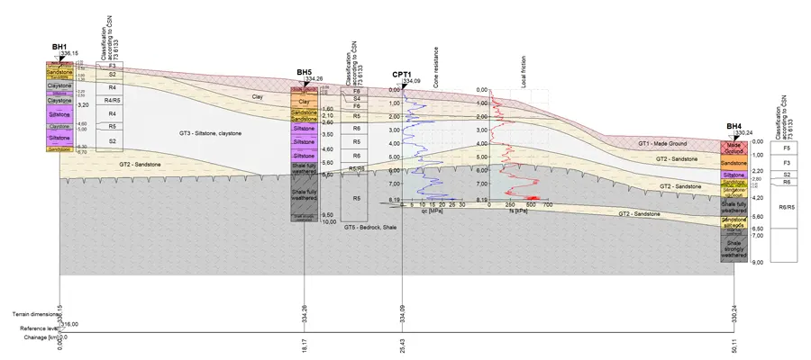
The Stratigraphy – Cross Sections extension module adds specialized options for printing and exporting geological sections. Creating sections is similar to working in CAD programs, but most is significantly easier due to direct generation from the 3D model.
Laboratory Tests
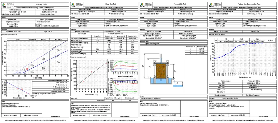
The Laboratory program provides effective processing and analysis of laboratory tests of soils and rocks. Data can be imported and exported in many file formats or exchanged with Data Collector mobile app.
